

Planning a route in the Wasdale/Eskdale/Langdale area
|
|
|||
| rea |
Planning a route in the Wasdale/Eskdale/Langdale area |
|||
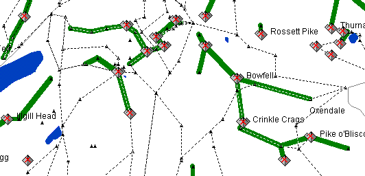
| Just
clicking the mouse along paths creates a route (taking account of angle
of ground) that can be stored in the database for future reference (Off
path points can also be included if needed). Profiles, length and ascent/descent
are available for all stored routes.
|
||||