
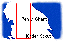
This new module completes coverage of the main mountain areas of Britain and covers from the Cross Fell area in the north to Kinder Scout in the south.
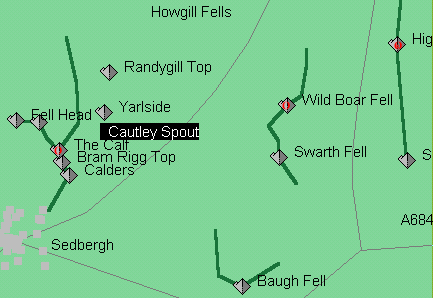
The Calf (676m), Wild Boar Fell (708m) and High Seat (710m)-(the summit of Mallerstang Edge) are the main tops.
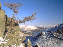
Cautley Spout is also worth a visit.
Just some of the 90 hills included in the new Pennine section of Fellwalker.
OS Outdoor Leisure 19 (new numbering) or if you have not used them you could try a Harvey's walkers' waterproof map here (1:40000 with interesting details such as cairns and boggy ground marked).